The Oklahoma Wildlife Conservation Commission adopted new rules in 2025 that require non-residents accessing certain Oklahoma public hunting and fishing areas to check in and out of the area. By checking in and out of these areas, hunters, anglers, shooters, birdwatchers, hikers, and any other users can help the Wildlife Department better understand how the area is being used. There is no additional cost associated with checking in or out of an area. There is no limit to the number of check-ins for an individual in a year.

Contacts
Impounded in 1970, Webbers Falls is the uppermost pool on the Arkansas River designated for navigation. The Arkansas, Verdigris, and Grand (Neosho) Rivers all meet at the headwaters of Webbers at an area called Three Forks and can produce significant flows during periods of floods. Water levels are generally stable for navigation (barge traffic) purposes, so floating and emergent vegetation can be found on most shorelines. Webbers Falls is located within the Arkansas river valley which is characterized by low gradients and substantial bottomlands.
Walleye, sauger and saugeye: six combined per day/16-inch minimum.
Webbers Falls Reservoir (Google Map) is located 8 miles north of I-40 in between the Muskogee Turnpike (SH 351) and SH 10.
Lake Details
Located
U.S. Corps of Engineers manages campgrounds and boat ramps.
Bait & Tackle shops are displayed by distance, starting with the closest.
- Dave's Bait & Tackle(304 S Main St, Gore, OK 74435)- (918) 489-2424
- Mike's Outdoors(2015 N York St, Muskogee, OK 74403)- (918) 687-3146
- Dunham's Sports(2346 E Shawnee Rd, Muskogee, OK 74403)- (918) 913-4250
- Walmart Supercenter (Muskogee)(1000 W Shawnee St, Muskogee, OK 74401)- (918) 687-0058
- Bait Barn(550 W Harris Rd, Muskogee, OK 74403)- (918) 682-4479
- Jimmy Houston Outdoors Store(25148 OK-82, Park Hill, OK 74451)- (918) 456-1156
- Mater's Bait & Tackle(7500 N York Rd, Okay, OK 74446)
- JJ's Bait Shop(20108 N County Rd 4460, Stigler, OK 74462)- (918) 552-2272
- Walmart Supercenter (Sallisaw)(1101 W Ruth Ave, Sallisaw, OK 74955)- (918) 775-4492
- Double K Bait & More(30010 S County Rd 4351, Whitefield, OK 74472)- (918) 613-4101
Sauger and walleye are subject to a 16" minimum to protect sauger broodstock.
Additional Resources
Fish Species of Interest
Upload Your Catch
Tiffany Dotson
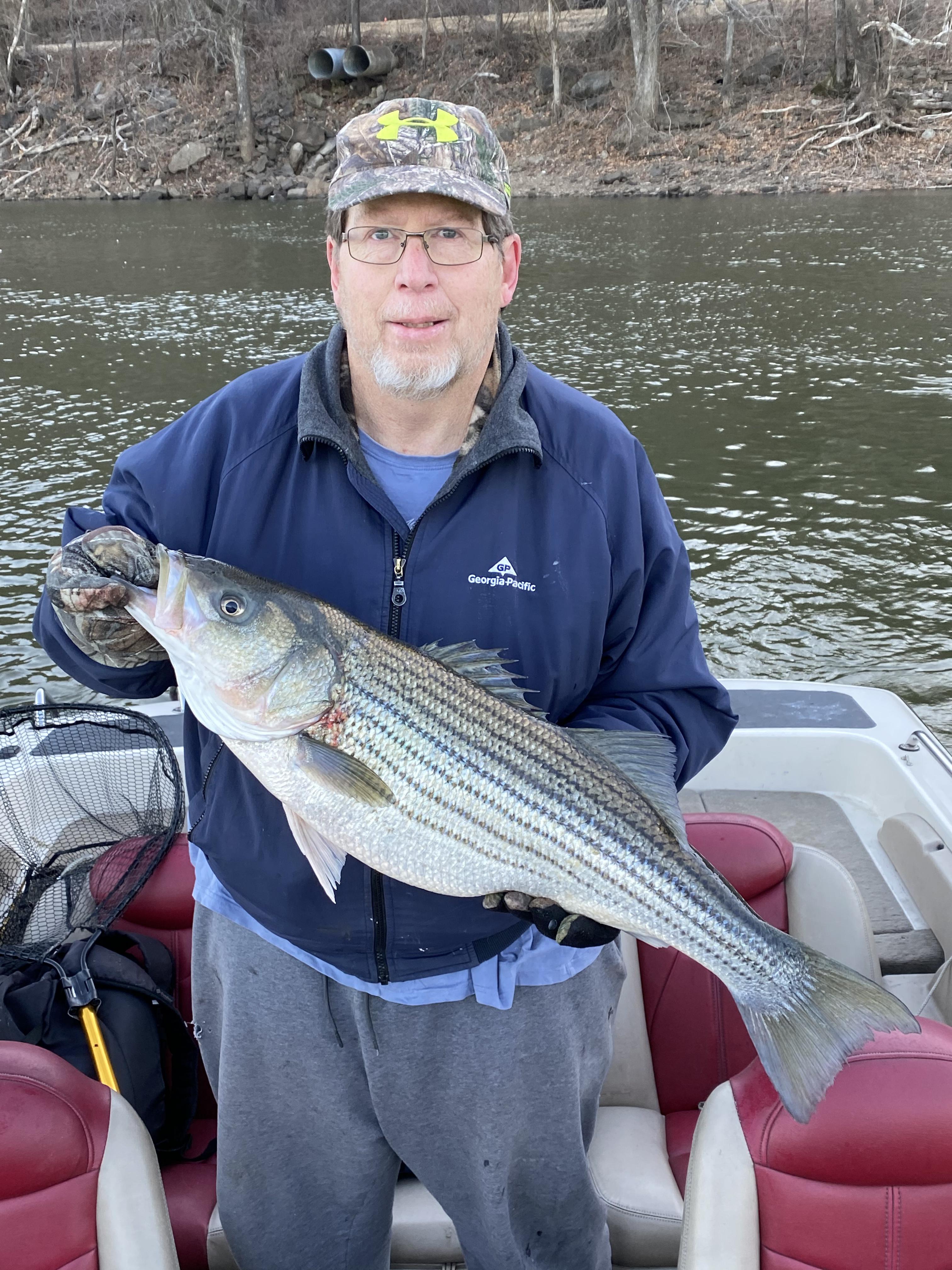
- Caught at: Webbers Falls
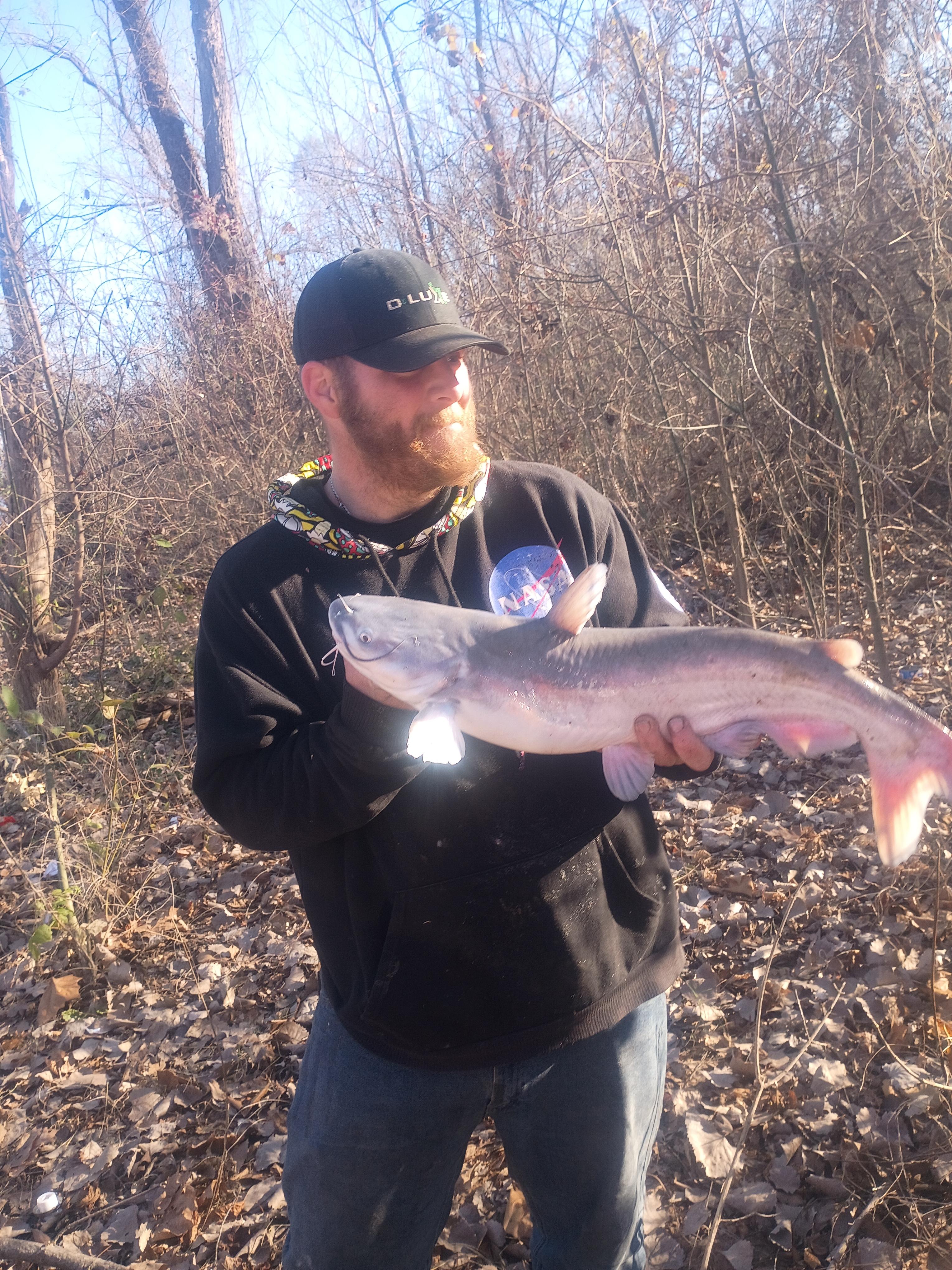
Gunther Marre6
- Caught at: Webbers Falls
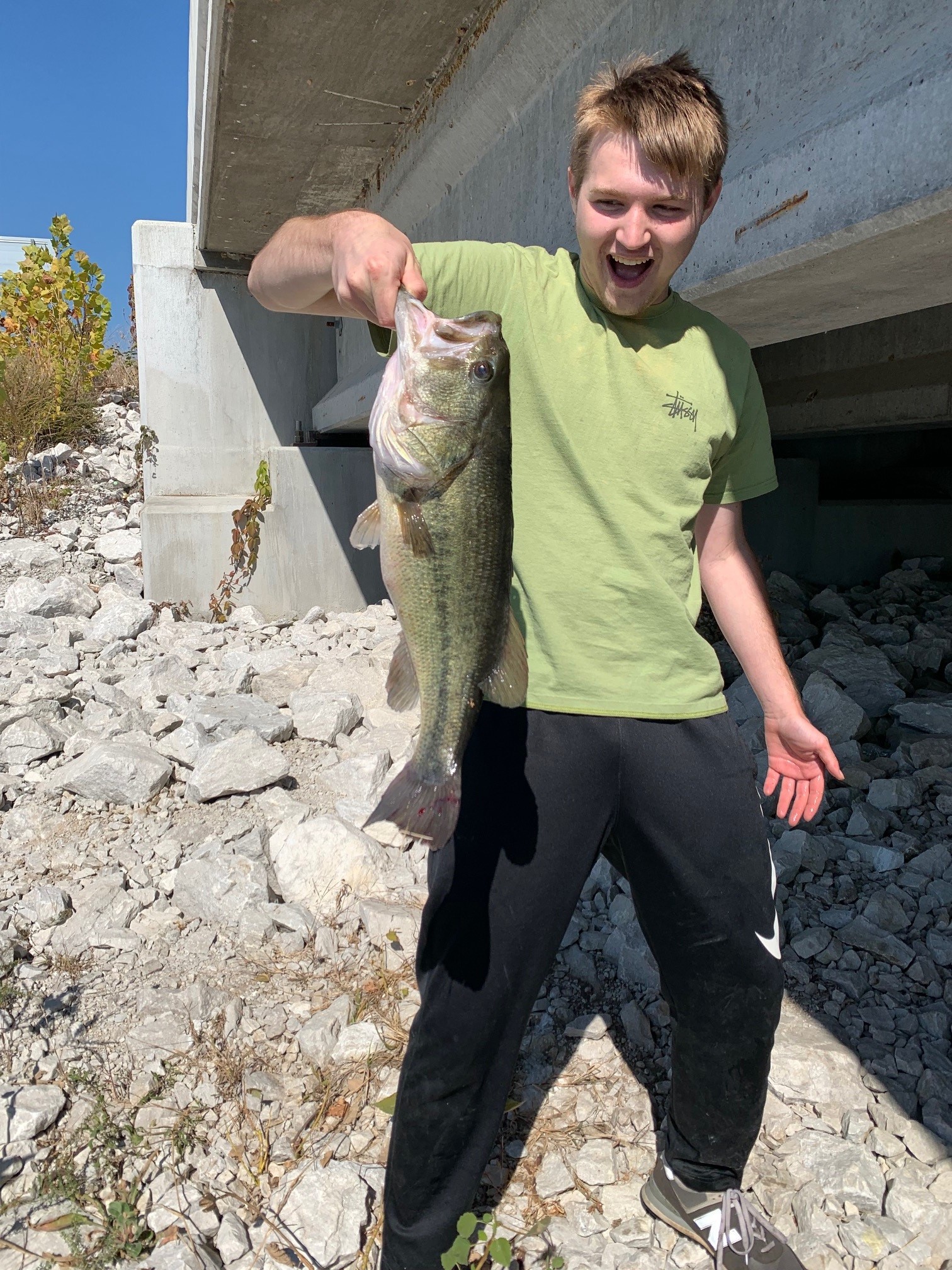
Darrell Purser
- Caught at: Webbers Falls
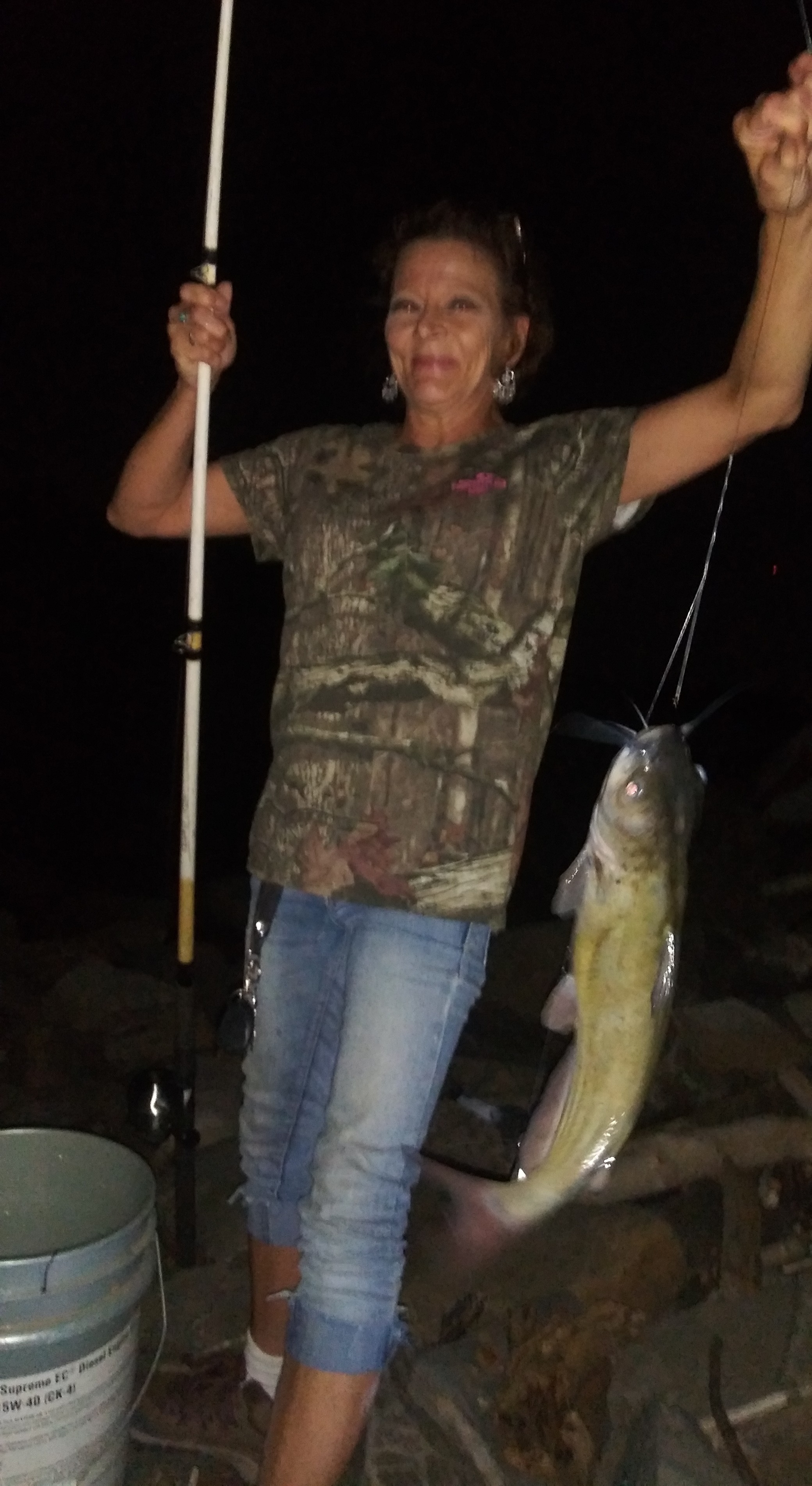
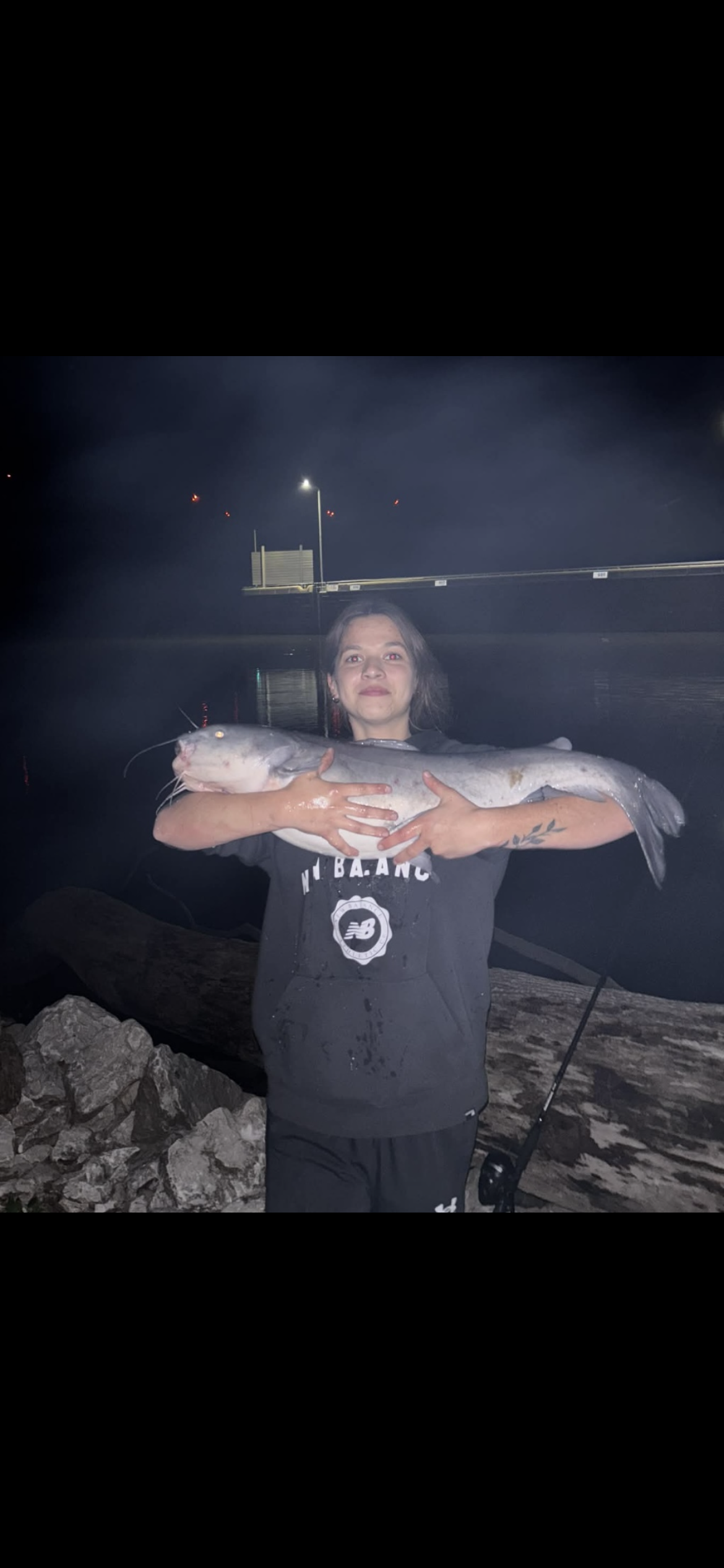
Kimberly H
- Caught at: Webbers Falls
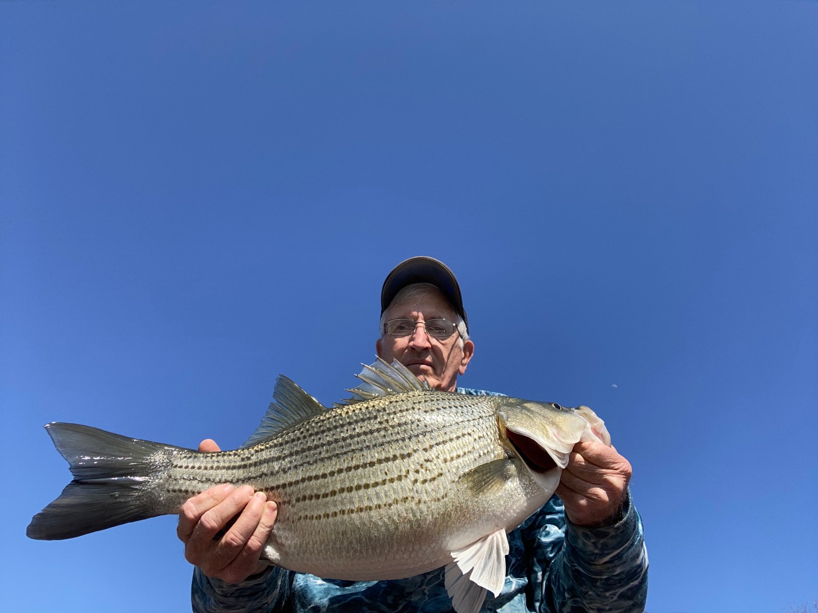
Jimmy Jestice
- Caught at: Webbers Falls
Wade Cothrum
- Caught at: Webbers Falls