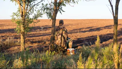
The Oklahoma Wildlife Conservation Commission adopted new rules in 2025 that require non-residents accessing certain Oklahoma public hunting and fishing areas to check in and out of the area. By checking in and out of these areas, hunters, anglers, shooters, birdwatchers, hikers, and any other users can help the Wildlife Department better understand how the area is being used. There is no additional cost associated with checking in or out of an area. There is no limit to the number of check-ins for an individual in a year.

Contacts
Keystone Lake (Google Map) is located 8 miles west of Sand Springs on US 412 and SH 51.
Lake Details
Located
U.S. Corps of Engineers and Oklahoma State Parks manages campgrounds with full RV hookups, boat ramps and designated swimming areas.
Bait & Tackle shops are displayed by distance, starting with the closest.
- Woody's Bait & Tackle(20913 W 8th St, Sand Springs, OK 74063)- (918) 245-8491
- Bait Shop(Mannford, OK 74044)- (918) 865-3335
- Keystone Lake Bait & Store(998 W Oak Grove Rd, Cleveland, OK 74020)- (918) 899-2649
- Walmart Supercenter (Sand Springs)(220 OK-97, Sand Springs, OK 74063)- (918) 245-0213
- North Harvard Bait( 3326 N Harvard Ave, Tulsa, OK 74115)- (918) 313-3788
- Mister Bass Inc(4000 W Rogers Blvd, Skiatook, OK 74070)- (918) 396-3848
- Walmart Supercenter (Skiatook)(700 W Rogers Blvd, Skiatook, OK 74070)- (918) 396-1244
- Walmart Supercenter (Owasso)(12101 E 96th St N, Owasso, OK 74055)- (918) 272-6609
- Pat's Achery & Outdoors(12601 US-75, Okmulgee, OK 74447)- (918) 756-4632
- Walmart Supercenter (Claremore)(1400 S Reavis Rd, Claremore, OK 74017)- (918) 341-2765
Many public-use areas have gentle shorelines and there are a number of courtesy docks as well. A 1,000 ft berm with wheelchair access is located on the north side of the tailwater below the Corps of Engineers' office. The south shoreline of the spillway has a 500 ft berm with wheelchair access.
Keystone Lake Report
Jul 27. Elevation is 1 ft. above normal (falling), water temperature 85°F and murky. (USACE Lake Level)
Catfish, Blue, Catfish, Channel Good on cut bait, live shad around river mouth.
Crappie, Black, Crappie, White Fair on minnows around brush structure.
Bass, White Good on jigs around below the dam.
Report submitted by Tracer Wagner (Game Warden Creek County)
Additional Resources
Fish Species of Interest
Upload Your Catch
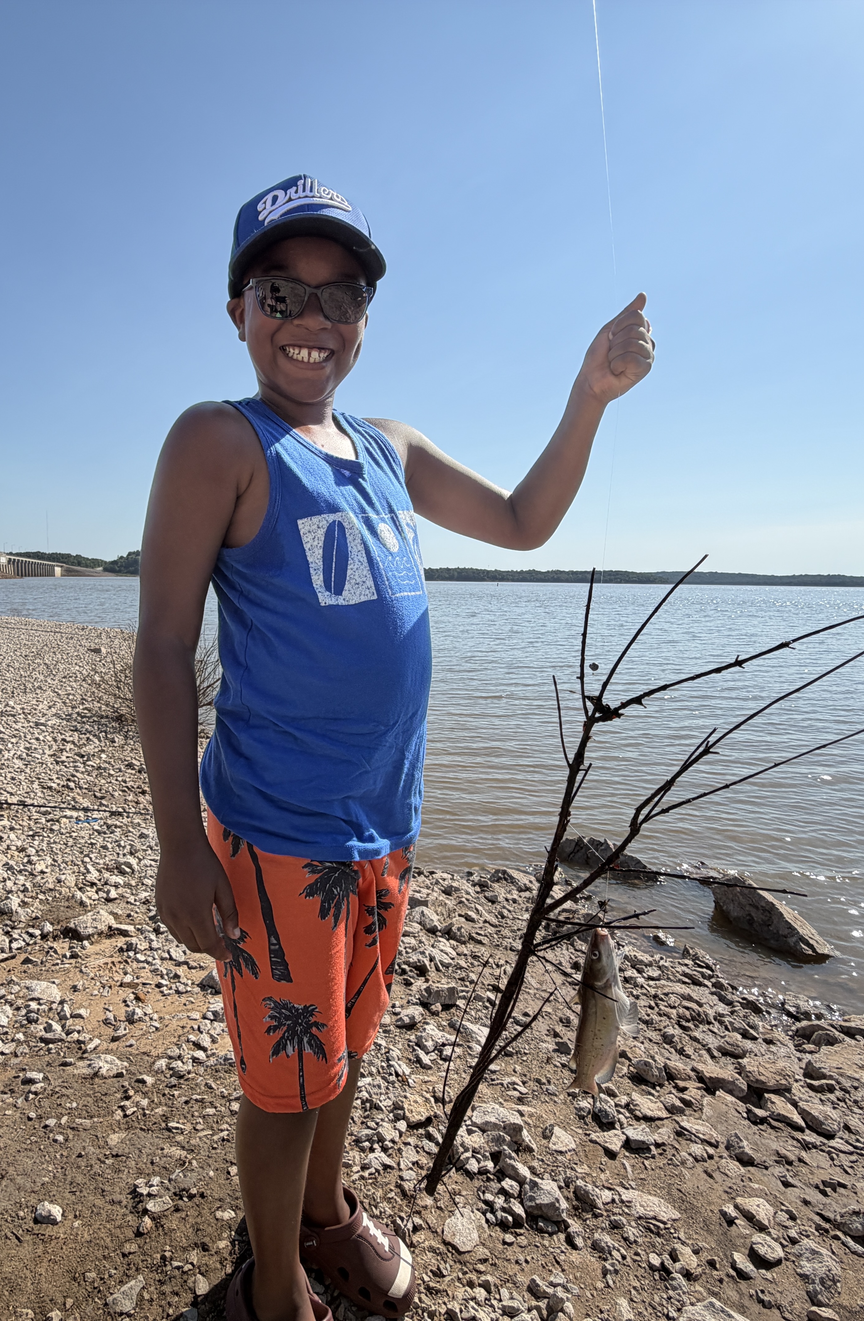
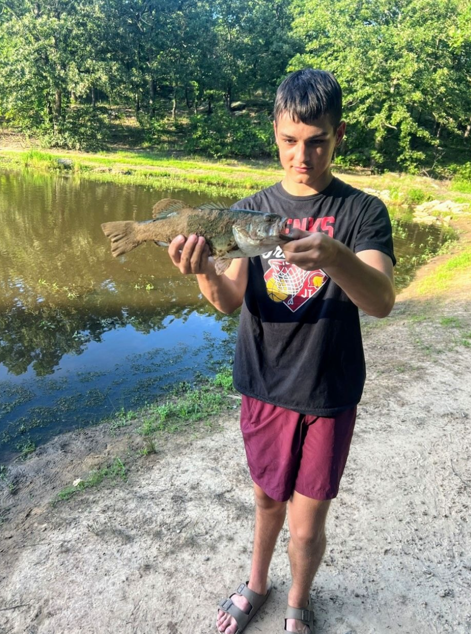
Nic K
- Caught at: Keystone Lake
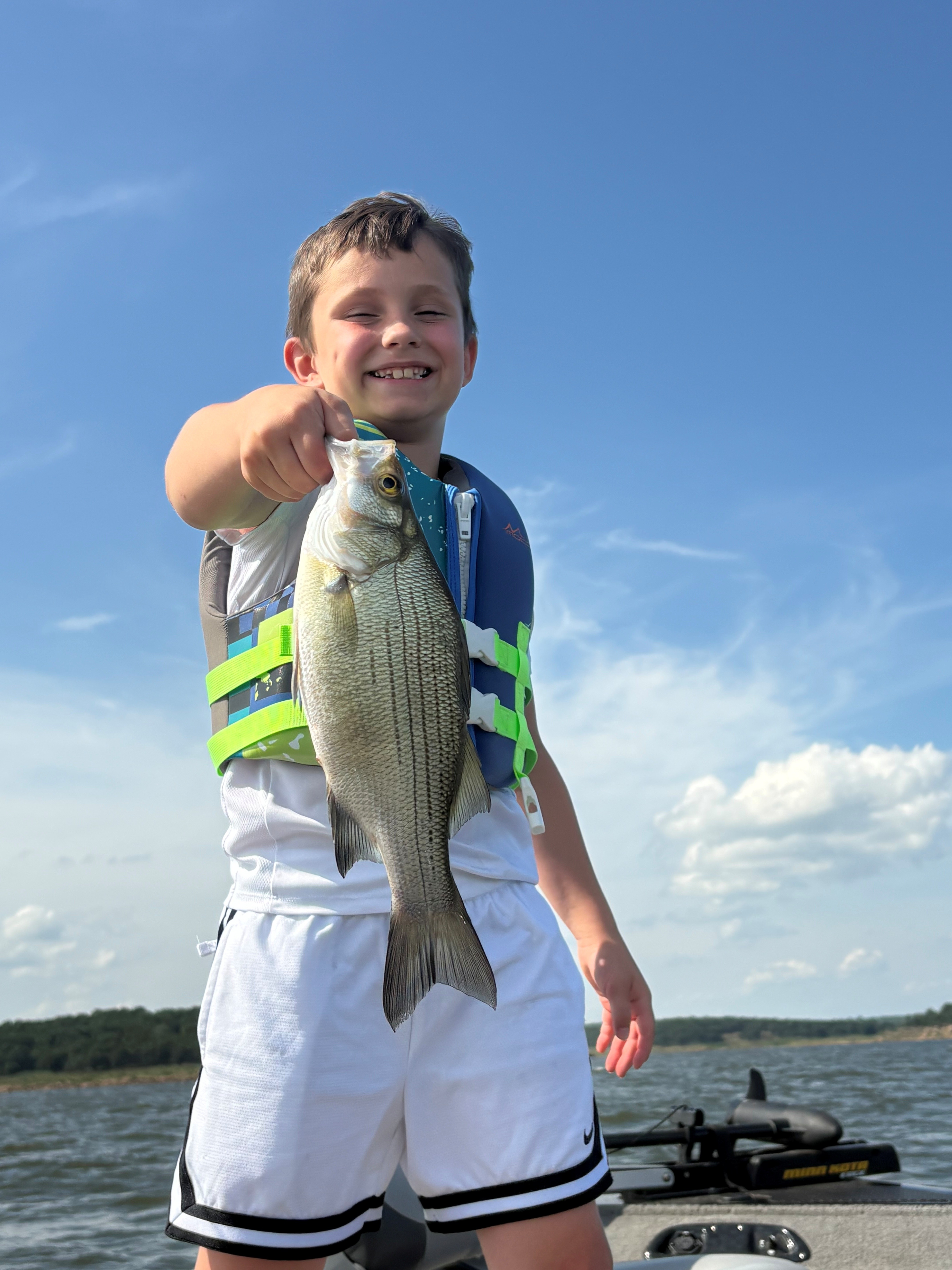
Jetson Sanchez
- Caught at: Keystone Lake
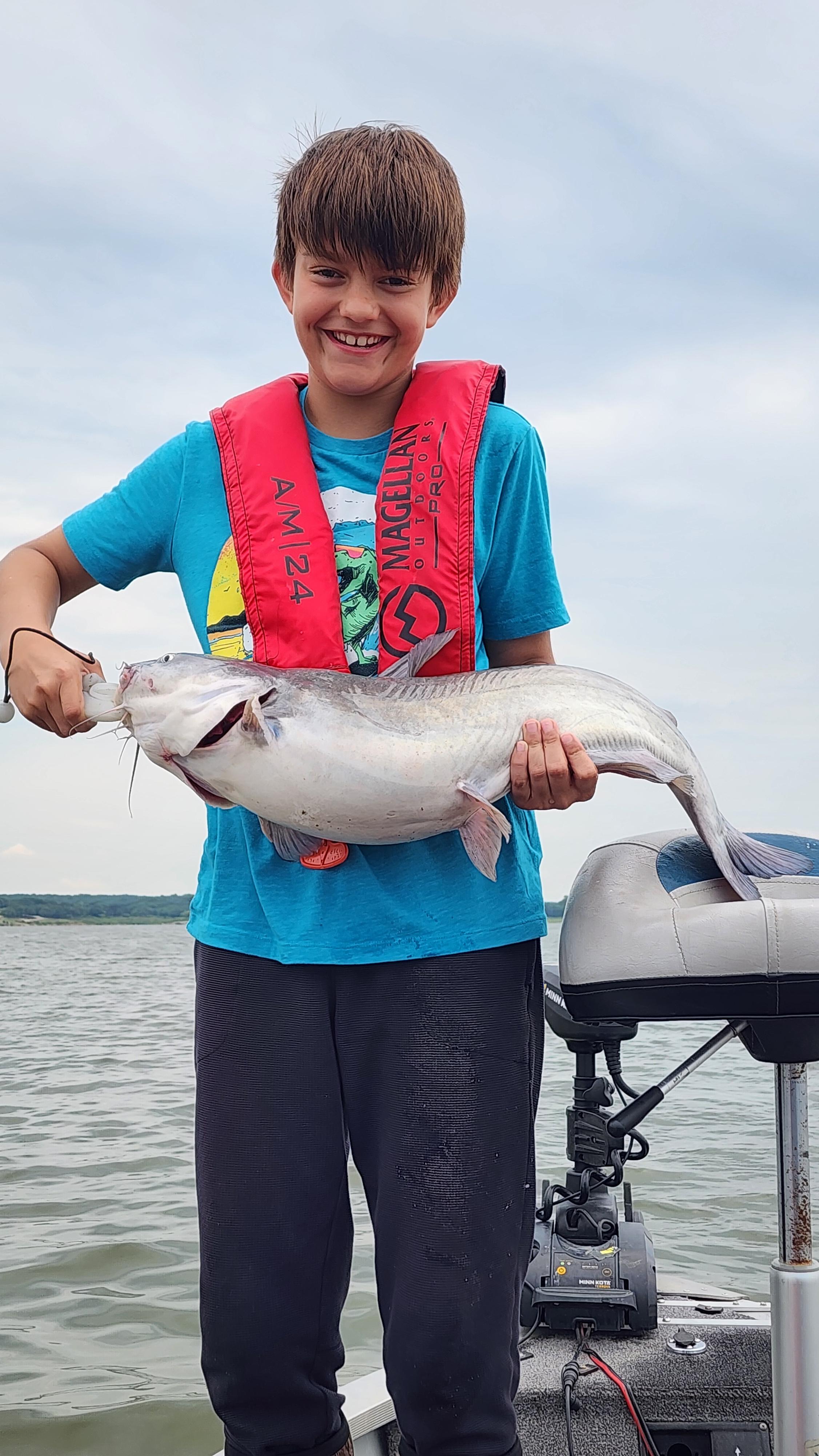
Colton Noland
- Caught at: Keystone Lake
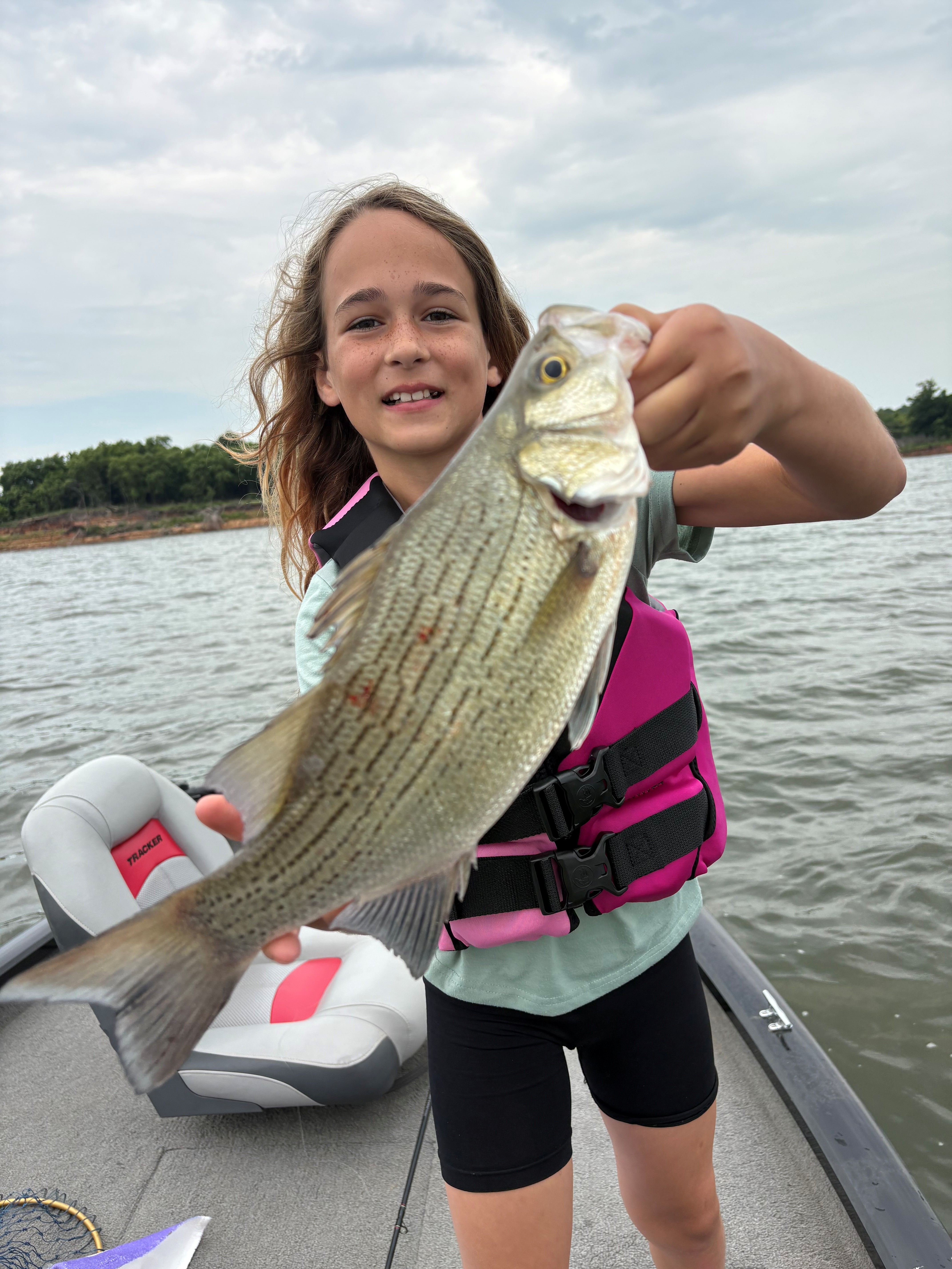
Joel Pritchard
- Caught at: Keystone Lake
Ember Wall
- Caught at: Keystone Lake
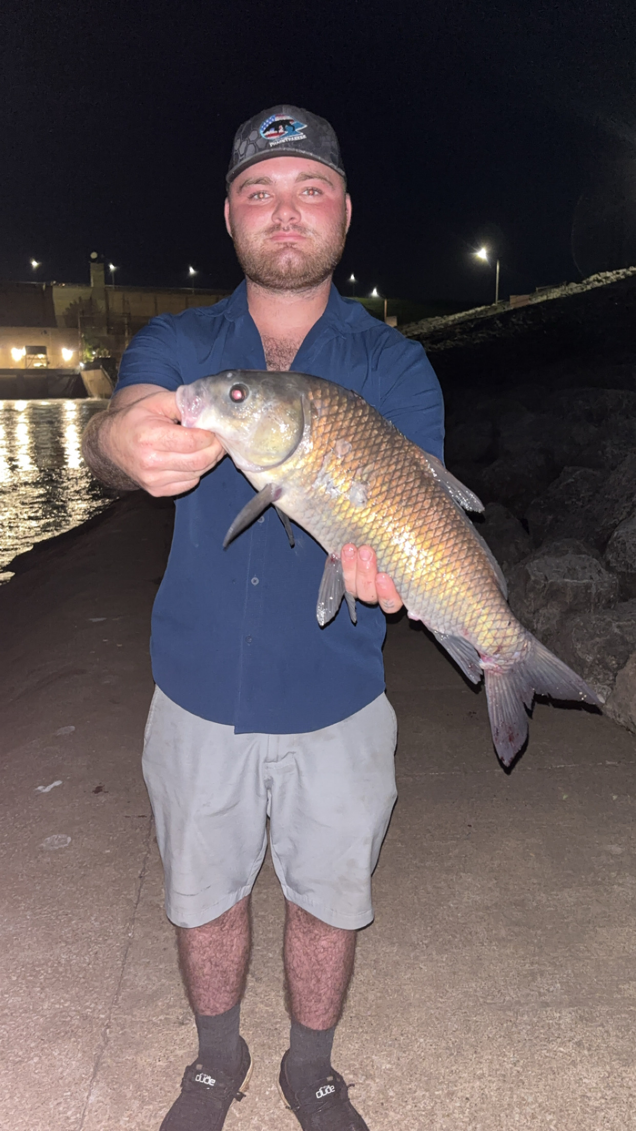
Dallas C
- Caught at: Keystone Lake